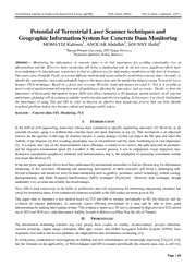
Top 1200 remote sensing geographic information systems PDF Book Page 45
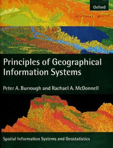
Principles of Geographical Information Systems
Peter A. Borrough, Rachael A. MacDonnell
·360 Pages
·38.67 MB
Certified Information Systems Security Professional. Student Guide
847 Pages
·2005
·61.924 MB
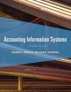
Accounting information systems
Bodnar, George H.;Hopwood, Wiliam S. Hopwood
·543 Pages
·2013
·32.062 MB
Project Management for Information Systems (5th Edition)
James Cadle, Donald Yeates
·465 Pages
·2008
·4.723 MB
Remote Sensing of Environment 1999: Vol 67 Table of Contents
5 Pages
·1999
·0.94 MB
Asymmetric Alliances and Information Systems
Said
·150 Pages
·2017
·3.21 MB
NASA Technical Reports Server (NTRS) 20030016612: International Conference on Remote Sensing Applications for Archaeological Research and World Heritage Conservation
NASA Technical Reports Server (NTRS)
·82 Pages
·3.1 MB

Small Flying Drones: Applications for Geographic Observation
Gianluca Casagrande
·168 Pages
·2017
·10.49 MB
Forecasting and remote sensing of harmful algal blooms on the other coasts
38 Pages
·2017
·6.19 MB

Simulation of the Sea Surface for Remote Sensing
Alexander Zapevalov, Konstantin Pokazeev, Tatiana Chaplina
·233 Pages
·2020
·8.436 MB
Advances in Remote Sensing for Natural Resource Monitoring
Prem C. Pandey, Laxmi K. Sharma
·507 Pages
·2021
·23.711 MB
Introductory digital image processing: A remote sensing perspective
John R. Jensen & Dr. Kalmesh Lulla
·658 Pages
·64.422 MB
Surface Waves and Fluxes: Volume II — Remote Sensing
Gary S. Brown (auth.), G. L. Geernaert, W. L. Plant (eds.)
·378 Pages
·1990
·9.59 MB
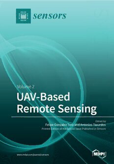
UAV or Drones for Remote Sensing Applications 2
Felipe Gonzalez Toro_ Antonios Tsourdos
·406 Pages
·2018
·118.876 MB
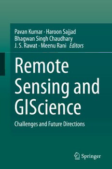
Remote Sensing and GIScience : Challenges and Future Directions
Pavan Kumar, Haroon Sajjad, Bhagwan Singh Chaudhary, J. S. Rawat, Meenu Rani
·270 Pages
·2021
·11.33 MB
A J Gasiewski remote sensing course notes lecture9
A J Gasiewski
·65 Pages
·4.706 MB
A J Gasiewski remote sensing course notes lecture19
A J Gasiewski
·54 Pages
·4.279 MB
A J Gasiewski remote sensing course notes lecture20
A J Gasiewski
·57 Pages
·5.039 MB
A J Gasiewski remote sensing course notes lecture13
A J Gasiewski
·68 Pages
·1.691 MB
A J Gasiewski remote sensing course notes lecture15
A J Gasiewski
·58 Pages
·3.205 MB

Remote Sensing and Climate Modeling: Synergies and Limitations
N. Gobron, F. Mélin, B. Pinty (auth.), Martin Beniston, Michel M. Verstraete (eds.)
·347 Pages
·2001
·23.108 MB
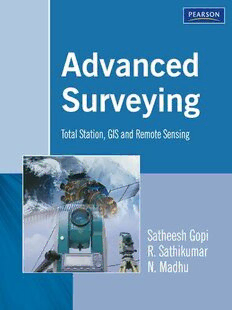
Advanced Surveying: Total Station, GIS and Remote Sensing
Satheesh Gopi, R. Sathikumar, N. Madhu
·369 Pages
·2003
·5.151 MB
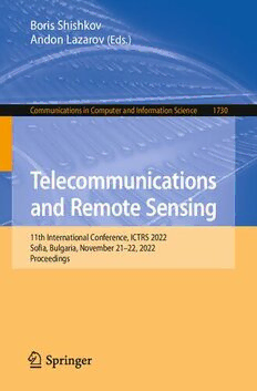
Telecommunications and Remote Sensing. 11th International Conference, ICTRS 2022 Sofia, Bulgaria, November 21–22, 2022 Proceedings
Boris Shishkov, Andon Lazarov
·109 Pages
·2022
·16.408 MB

