Top 1200 remote sensing geographic information systems PDF Book Page 44

Visualisation for semantic information systems
Hans-Georg Fill
·344 Pages
·2009
·4.868 MB

Fundamentals of Information Systems
Ralph M. Stair, George W. Reynolds
·540 Pages
·2016
·34.335 MB

National Geographic August 2011 (The Wildest Place in North America) volume 220 issue 2
National Geographic Society
·164 Pages
·2011
·12.45 MB
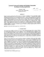
NASA Technical Reports Server (NTRS) 19990041150: Textural-Contextual Labeling and Metadata Generation for Remote Sensing Applications
NASA Technical Reports Server (NTRS)
·6 Pages
·0.49 MB

Information systems climatology
18 Pages
·2008
·0.76 MB

caution - Alliance Laundry Systems
Alliance Laundry Systems
·112 Pages
·2014
·1.18 MB

Standalone Photovoltaic (PV) Systems for Disaster Relief and Remote Areas
Salahuddin Qazi
·295 Pages
·2016
·28.5 MB

Remote Sensing for Archaeology and Cultural Landscapes: Best Practices and Perspectives Across Europe and the Middle East
Diofantos G. Hadjimitsis, Kyriacos Themistocleous, Branka Cuca, Athos Agapiou, Vasiliki Lysandrou, Rosa Lasaponara, Nicola Masini, Gunter Schreier
·314 Pages
·2020
·26.614 MB
Using geographic information systems to analyze bald eagle habitat use in the Chesapeake Bay, USA
S K Chandler
·1 Pages
·1993
·0.42 MB
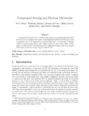
DTIC ADA560915: Compressed Sensing and Electron Microscopy
Defense Technical Information Center
·2.1 MB
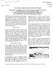
NASA Technical Reports Server (NTRS) 20020004347: Sea Ice Remote Sensing Using Surface Reflected GPS Signals
NASA Technical Reports Server (NTRS)
·6 Pages
·0.64 MB
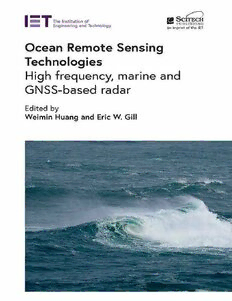
Ocean Remote Sensing Technologies: High frequency, marine and GNSS-based radar
Weimin Huang, Eric W. Gill
·755 Pages
·2022
·23.305 MB

MIS 10 - Management Information Systems - 10th Ed.
Hossein Bidgoli
·2021
·11.04 MB

Geographic Adjustment in Medicare Payment: Phase II: Implications for Access, Quality, and Efficiency
Committee on Geographic Adjustment Factors in Medicare Payment
·239 Pages
·2012
·8.29 MB
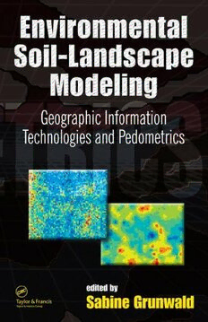
Environmental soil-landscape modeling: geographic information technologies and pedometrics, Volume 111
Sabine Grunwald
·509 Pages
·2006
·6.826 MB
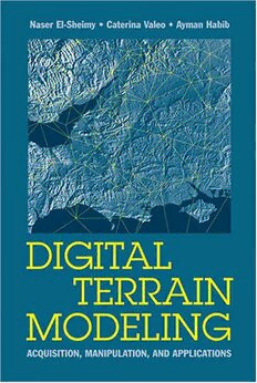
Digital Terrain Modeling: Acquisition, Manipulation And Applications (Artech House Remote Sensing Library)
Naser El-Sheimy, Caterina Valeo, Ayman Habib
·266 Pages
·2005
·49.838 MB

Geochemical Remote Sensing of the Sub-Surface. Volume 7
Hale M.
·573 Pages
·2000
·28.566 MB
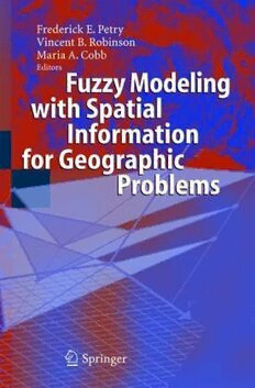
Fuzzy Modeling with Spatial Information for Geographic Problems
Frederick E. Petry, Vincent B. Robinson, Maria A. Cobb (Editors)
·344 Pages
·2005
·8.279 MB

Springer Series in Light Scattering: Volume 6: Radiative Transfer, Light Scattering, and Remote Sensing
Alexander Kokhanovsky
·201 Pages
·2021
·6.937 MB

Chapter 13 Remote Sensing of Precipitation from Airborne and Spaceborne Radar S. Joseph
Joe Munchak
·63 Pages
·2017
·2.95 MB

