Top 1200 remote sensing geographic information systems PDF Book Page 42

Springer handbook of geographic information
Charles Roswell (auth.), Wolfgang Kresse, David M. Danko (eds.)
·1131 Pages
·2012
·54.695 MB
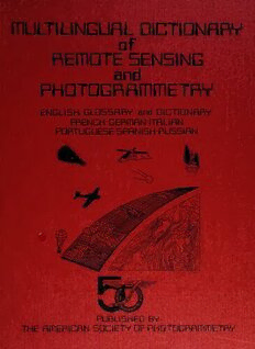
Multilingual Dictionary of Remote Sensing and Photogrammetry
George A. Rabchevsky
·368 Pages
·1984
·13.341 MB

Polar Remote Sensing: Volume II: Ice Sheets
Dr. Robert Massom, Dr. Dan Lubin (auth.)
·511 Pages
·2006
·15.833 MB

Microwave Remote Sensing Tools in Environmental Science
Costas A. Varotsos, Vladimir F. Krapivin
·484 Pages
·2020
·12.499 MB

Remote Sensing of Biomass - Principles and Applications
T. Fatoyinbo
·334 Pages
·2012
·21.035 MB
Civilian Satellite Remote Sensing: A Strategic Approach
Office of Technology Assessment - Congress of the United States
·173 Pages
·1994
·4.547 MB
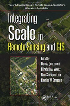
Integrating Scale in Remote Sensing and GIS
Dale A. Quattrochi, Elizabeth Wentz, Nina Siu-Ngan Lam, Charles W. Emerson (eds.)
·426 Pages
·2017
·10.155 MB

UAV or Drones for Remote Sensing Applications
Felipe Gonzalez Toro, Antonios Tsourdos
·384 Pages
·19.455 MB
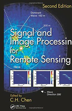
Signal and Image Processing for Remote Sensing
C.H. Chen
·602 Pages
·2012
·27.559 MB
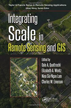
Integrating scale in remote sensing and GIS
Dale A. Quattrochi, Elizabeth Wentz, Nina Siu-Ngan Lam, Charles W. Emerson
·426 Pages
·2017
·18.989 MB

Remote Sensing and Image Processing in Mineralogy
Maged Marghany
·300 Pages
·2022
·28.851 MB
Remote Sensing Digital Image Analysis: An Introduction
John A. Richards (auth.)
·502 Pages
·2013
·14.874 MB
Land Surface Remote Sensing in Continental Hydrology
Nicolas Baghdadi, Mehrez Zribi
·482 Pages
·2016
·82.396 MB
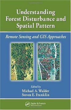
Understanding Forest Disturbance and Spatial Pattern: Remote Sensing and GIS Approaches
Michael A. Wulder, Steven E. Franklin
·269 Pages
·2006
·7.413 MB

Cooperative information systems : 7th International Conference, CoopIS 2000, Eilat, Israel, September 6-8, 2000 : proceedings
IFCIS International Conference on Cooperative Information Systems (7th : 2000 : Eilat, Israel)
·347 Pages
·2000
·14.4 MB

National Geographic Kids Australia New Zealand – Issue 116 2024
National Geographic Kids Australia New Zealand
·52 Pages
·34 MB

National Geographic Kids Australia New Zealand – Issue 124, 2025
National Geographic Kids Australia New Zealand
·52 Pages
·122 MB

Remote Systems Control Engineer
Matt Mullins
·36 Pages
·2013
·2.17 MB

Advances in Remote Sensing for Infrastructure Monitoring
Vernon Singhroy
·2020
·230.241 MB
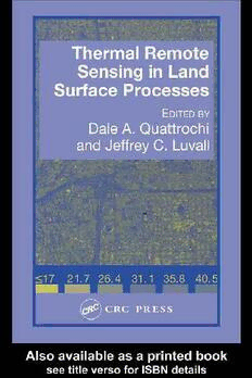
Thermal Remote Sensing in Land Surface Processes
Dale Quattrochi,Jeffrey C Luvall,Ebooks Corporation.
·487 Pages
·2004
·17.791 MB

PASSIVE MICROWAVE REMOTE SENSING OF THE EARTH
WENG, FUZHONG
·380 Pages
·2017
·28.362 MB

Remote Sensing Digital Image Analysis: An Introduction
John A. Richards, Xiuping Jia (auth.)
·454 Pages
·2006
·7.698 MB

