Top 1200 remote sensing geographic information systems PDF Book Page 2
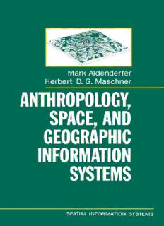
Anthropology, Space, and Geographic Information Systems (Spatial Information Systems)
Mark Aldenderfer
·305 Pages
·1996
·36.82 MB
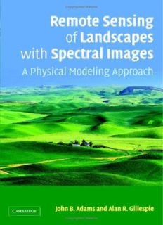
Remote Sensing of Landscapes with Spectral Images: A Physical Modeling Approach (Topics in Remote Sensing)
John B. Adams
·379 Pages
·2006
·31.36 MB
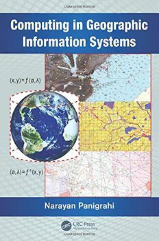
Computing in Geographic Information Systems
Narayan Panigrahi
·294 Pages
·2014
·8.533 MB
Remote Sensing Handbook: Volume 2 - Land Resources Monitoring, Modeling, and Mapping with Remote Sensing
Prasad Srinivasa
·858 Pages
·2016
·181.21 MB
Remote Sensing Geology
438 Pages
·2018
·33.83 MB
Remote Sensing Applications to Groundwater - Hydrologie.org
312 Pages
·2007
·26.39 MB
Interoperating Geographic Information Systems
Max J. Egenhofer (auth.), Michael Goodchild, Max Egenhofer, Robin Fegeas, Cliff Kottman (eds.)
·512 Pages
·1999
·40.553 MB
Remote Sensing of Natural Resources
University of New Mexico. Technology Application Center.; United States. National Aeronautics and Space Administration
·565 Pages
·2013
·69.782 MB
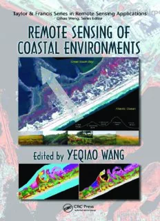
Remote Sensing of Coastal Environments (Remote Sensing Applications Series)
Yeqiao Wang
·460 Pages
·2009
·13.19 MB
Landscape ecology and geographic information systems
Cousins, Steven; Haines-Young, Roy H.; Green, David R
·329 Pages
·1993
·6.782 MB
Handbook on geographic information systems and digital mapping
205 Pages
·4.101 MB

Advanced Remote Sensing: Terrestrial Information Extraction and Applications
Shunlin Liang; Jindi Wang
·992 Pages
·2019
·34.428 MB
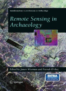
Remote Sensing in Archaeology
Derrold W. Holcomb
·550 Pages
·2007
·298.34 MB
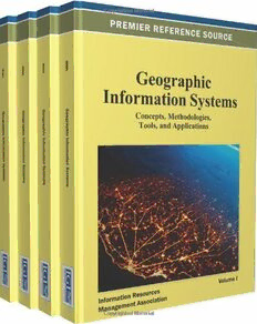
Geographic Information Systems: Concepts, Methodologies, Tools, and Applications
Information Resources Management Association, USA Information Resources Management Association
·2281 Pages
·2012
·51.023 MB
Science & Technology China — Remote Sensing Systems, Applications
United States Joint Publications Research Service
·21 Pages
·5.5 MB

PGDiploma Remote Sensing Geographical Information System 2010
['ahim']
·14 Pages
·2019

Remote sensing
245 Pages
·2011
·6.18 MB
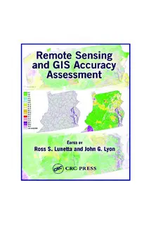
Remote Sensing and GIS Accuracy Assessment (Mapping Science)
320 Pages
·2012
·9.28 MB
Remote Sensing Satellite Image Acquisition Planning
Shufan Liu
·119 Pages
·2015
·1.95 MB
REMOTE-SENSING AND GIS APPLICATIONS IN AGROMETEOROLOGY
35 Pages
·2010
·3.76 MB
Geographic information systems and health applications
Omar A Khan; Ric Skinner; IGI Global
·343 Pages
·2003
·9.973 MB
Remote Sensing of Hydrometeorological Hazards
George P. Petropoulos
·551 Pages
·2018
·4.75 MB
Remote Sensing Geology
Ravi P. Gupta (auth.)
·438 Pages
·2018
·33.83 MB
LiDAR Remote Sensing and Applications
Pinliang Dong
·221 Pages
·2018
·14.52 MB
