Top 1200 remote sensing geographic information systems PDF Book Page 47
DTIC ADA567433: Remote Detection of Plant Physiological Responses to TNT Soil Contamination
Defense Technical Information Center
·13 Pages
·0.31 MB
Instructor Solution Manual for Accounting Information Systems, 12E
Paul John Steinbart
·746 Pages
·2013
·8.11 MB
Konyukhov Corresponding Member of the NASU V.I. Dranovsky Dr. V.N. Tsymbal - Radar Techniques and Facilities for On-Line Remote Sensing of the Earth from Aerospace Carriers
Edited by Academician of the NASU S.N.
·427 Pages
·2016
·37.93 MB
Ground-based remote sensing of the atmospheric boundary layer
29 Pages
·2004
·2.23 MB
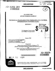
DTIC ADA252201: Technical Standards for Command and Control Information Systems (CCISs)
Defense Technical Information Center
·736 Pages
·40.7 MB

Geographic Adjustment in Medicare Payment: Phase I: Improving Accuracy, Second Edition
Committee on Geographic Adjustment Factors in Medicare Payment
·265 Pages
·2011
·7.38 MB
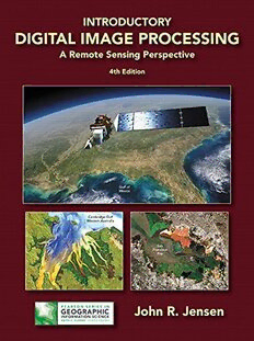
Introductory Digital Image Processing: A Remote Sensing Perspective
John R. Jensen
·659 Pages
·2015
·76.802 MB

Land Surface Remote Sensing in Agriculture and Forest
Nicolas Baghdadi, Mehrez Zribi
·479 Pages
·2016
·103.789 MB

Concepts and Applications of Remote Sensing in Forestry
Mohd Nazip Suratman
·454 Pages
·2023
·16.339 MB

Fundamentals of satellite remote sensing: an environmental approach
Chuvieco, Emilio
·478 Pages
·2016
·632.589 MB
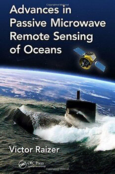
Advances in passive microwave remote sensing of oceans
Raizer, Victor Yu
·293 Pages
·2017
·18.653 MB
A J Gasiewski remote sensing course notes lecture22
A J Gasiewski
·37 Pages
·1.461 MB
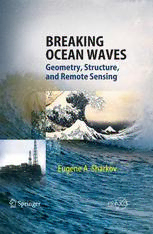
Breaking Ocean Waves: Geometry, Structure, and Remote Sensing
Professor Eugene A. Sharkov (auth.)
·295 Pages
·2007
·9.572 MB

Remote sensing and climate modeling : synergies and limitations
Martin Beniston; Michel M Verstraete
·348 Pages
·2001
·82.009 MB
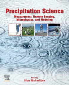
Precipitation Science: Measurement, Remote Sensing, Microphysics and Modeling
Silas Michaelides (editor)
·843 Pages
·2021
·85.592 MB

The Remote Sensing of Tropospheric Composition from Space
John P. Burrows, Ulrich Platt, Peter Borrell (auth.), John P. Burrows, Peter Borrell, Ulrich Platt (eds.)
·576 Pages
·2011
·16.675 MB
A J Gasiewski remote sensing course notes lecture2
A J Gasiewski
·48 Pages
·0.687 MB
A J Gasiewski remote sensing course notes lecture16
A J Gasiewski
·64 Pages
·3.364 MB

Urban High-Resolution Remote Sensing: Algorithms and Modeling
Guoqing Zhou
·2020
·118.903 MB
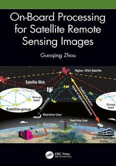
On-Board Processing for Satellite Remote Sensing Images
Guoqing Zhou
·241 Pages
·2023
·27.112 MB

Remote sensing retrieval of urban land surface temperature in hot-humid region
Yurong Shi
·2018
·0.65 MB

NASA Technical Reports Server (NTRS) 20110023313: New Challenges of Cloud Remote Sensing from Space
NASA Technical Reports Server (NTRS)
·0.05 MB
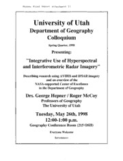
NASA Technical Reports Server (NTRS) 19990026874: Enhancement of Capabilities in Hyperspectral and Radar Remote Sensing for Environmental Assessment and Monitoring
NASA Technical Reports Server (NTRS)
·11 Pages
·0.42 MB
CLINICAL VERSUS ACTUARIAL GEOGRAPHIC PROFILING Clinical Versus Actuarial Geographic Pr
Brent Snook
·20 Pages
·2007
·0.09 MB
