Top 1200 pub international journal of remote sensing PDF Book Page 4

factors influencing the accuracy of remote sensing classifications
Christine Middleton
·279 Pages
·2017
·4.43 MB

Digital Methods and Remote Sensing in Archaeology: Archaeology in the Age of Sensing
Maurizio Forte, Stefano Campana (eds.)
·499 Pages
·2016
·20.538 MB
Remote Sensing of the Environment: An Earth Resource Perspective
Jensen, John R
·619 Pages
·2013
·50.947 MB

Environmental Remote Sensing and GIS in Iraq
Ayad M. Fadhil Al-Quraishi, Abdelazim M. Negm
·524 Pages
·2020
·28.581 MB

Module - 1 Lecture Notes - 1: Remote Sensing: Introduction and Basic Concepts Basic Concepts of Remote Sensing
['SaradaPrasadChakraborty']
·11 Pages
·2014

Advances in Environmental Remote Sensing: Sensors, Algorithms, and Applications (Remote Sensing Applications Series)
Qihao Weng
·600 Pages
·2011
·14.52 MB
GIS and Remote Sensing Applications in Biogeography and Ecology
Andrew C. Millington, Stephen J. Walsh (auth.), Andrew C. Millington, Stephen J. Walsh, Patrick E. Osborne (eds.)
·332 Pages
·2001
·16.63 MB
Crop monitoring with remote sensing
17 Pages
·2016
·1.26 MB
Remote Sensing Digital Image Analysis: An Introduction
John A. Richards (auth.)
·350 Pages
·1993
·9.038 MB
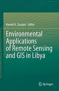
Environmental Applications of Remote Sensing and GIS in Libya
Hamdi A. Zurqani
·259 Pages
·2022
·11.152 MB
Fundamentals of Satellite Remote Sensing: An Environmental Approach, Second Edition
Emilio Chuvieco
·478 Pages
·2016
·14.085 MB
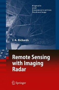
Remote Sensing With Imaging Radar
John A. Richards (auth.)
·373 Pages
·2009
·16.39 MB
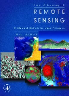
Remote Sensing, Third Edition: Models and Methods for Image Processing
Robert A. Schowengerdt
·558 Pages
·2006
·31.31 MB
Sampling Methods, Remote Sensing and GIS Multiresource Forest Inventory
Professor Dr. Michael Köhl, Dr. Steen Magnussen, Professor Dr. Marco Marchetti (auth.)
·387 Pages
·2006
·6.743 MB
Remote Sensing Applications in Marine Science and Technology
John R. Apel (auth.), Arthur P. Cracknell (eds.)
·465 Pages
·1983
·17.923 MB
Remote Sensing Time Series: Revealing Land Surface Dynamics
Claudia Kuenzer, Stefan Dech, Wolfgang Wagner (eds.)
·458 Pages
·2015
·22.299 MB
Remote Sensing of Suspended Sediments and Shallow Coastal Waters
Li, Rong-Rong
·16 Pages
·2002
·8.1 MB
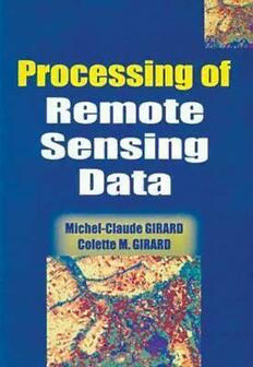
Processing Of Remote Sensing Data
Hazel B. Girard; Michel-Claude Girard; Michel C. Girard
·508 Pages
·2017
·28.963 MB

Remote Sensing of Biophysical Parameters
Francisco Javier Garcıa-Haro, Manuel Campos-Taberner, Hongliang Fang
·276 Pages
·2022
·35.486 MB
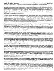
NASA Technical Reports Server (NTRS) 19980211552: Second International Airborne Remote Sensing Conference and Exhibition
NASA Technical Reports Server (NTRS)
·2 Pages
·0.2 MB
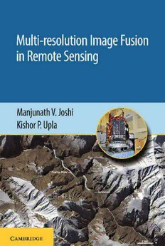
Multi-resolution Image Fusion in Remote Sensing
Joshi, Manjunath V.; Upla, Kishor P
·255 Pages
·2019
·7.237 MB

Geoinformation: Remote Sensing, Photogrammetry and Geographical Information Systems
Gottfried Konecny (Author)
·263 Pages
·2002
·3.633 MB

Remote Sensing of Vegetation: Along a Latitudinal Gradient in Chile
Christian Julian Bödinger
·123 Pages
·2019
·8.23 MB
Civilian Satellite Remote Sensing: A Strategic Approach
Office of Technology Assessment - Congress of the United States
·173 Pages
·1994
·4.547 MB
