Top 1200 historical atlases maps PDF Book Page 3
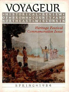
Voyageur : northeast Wisconsin's historical review: Spring 1984
Brown County Historical Society
·100 Pages
·1984
·27.933 MB
Publications of the Mississippi Historical Society, Volume 01 (of 14), 1898
Mississippi Historical Society
·2013
·0.15 MB
The Quarterly of the Oregon Historical Society (Vol. I, No. 3)
Oregon Historical Society
·2020
·0.25 MB
The Quarterly of the Oregon Historical Society (Vol. I, No. 1)
Oregon Historical Society
·2018
·0.2 MB
The Quarterly of the Oregon Historical Society (Vol. I, No. 2)
Oregon Historical Society
·2017
·0.21 MB

Using Historical Maps in Scientific Studies: Applications, Challenges, and Best Practices
Yao-Yi Chiang, Weiwei Duan, Stefan Leyk, Johannes H. Uhl, Craig A. Knoblock
·122 Pages
·2020
·10.709 MB
Why Stop?: A Guide to Texas Roadside Historical Markers
The Texas Historical Commission
·2013
·1.69 MB
Publications of the Mississippi Historical Society, Volume 02 (of 14), 1899
Mississippi Historical Society
·2014
·0.26 MB
Pendleton County Historical Society Newsletter, Vol 11, No 3, Winter 2019
Pendleton County Historical Society
·2019
·6.8 MB

Genus zero Gromov-Witten axioms via Kuranishi atlases
Robert Castellano
·0.52 MB
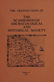
Transactions of the Scarborough Archaeological and Historical Society No. 30
Scarborough Archaeological and Historical Society
·44 Pages
·1993
·4.3 MB
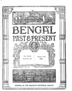
Bengal, Past & Present: Journal of the Calcutta Historical Society, January-June 1960
Calcutta Historical Society
·68 Pages
·1960
·17.81 MB
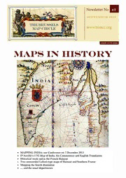
«Maps in History» . № 47 . September 2013 .
BMK BRZ
·2013
·42.4 MB
Inundation Maps
14 Pages
·2017
·4.56 MB

books, maps and manuscripts
134 Pages
·2015
·4.88 MB
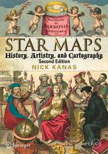
Star Maps: History, Artistry, and Cartography
Nick Kanas (auth.)
·558 Pages
·2012
·123.544 MB
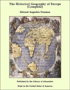
The Historical Geography of Europe, Vol. II, Maps
Edward A. (Edward Augustus) Freeman
·2020
·0.16 MB

Maps
['Francisco Gonzalez']
·30 Pages
·2019

Updating NOAA Rainfall Frequency Atlases - AASHTO
Geoffrey Bonnin
·19 Pages
·2013
·3.62 MB

«Maps in History» . № 44 . September 2012 .
BMK BRZ
·2012
·40.1 MB
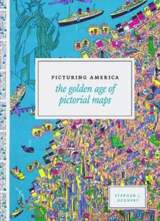
Picturing America: The Golden Age of Pictorial Maps
Stephen J. Hornsby
·302 Pages
·2017
·83.95 MB
Historical Geography
428 Pages
·2014
·13.93 MB

Maps: Their Untold Stories
Rose Mitchell
·225 MB

The Great Entertainer Cookbook: Recipes from the Buffalo Bill Historical Center
Buffalo Bill Historical Center
·2002
·2.514 MB
