Top 1200 remote sensing geographic information systems PDF Book
Geoinformation: Remote Sensing, Photogrammetry and Geographic Information Systems
452 Pages
·2014
·19.49 MB
Fundamentals of Remote Sensing
Canada Centre for Remote Sensing
·2003
·12.4276 MB
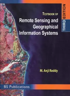
Remote Sensing and Geographical Information Systems
Reddy, M. Anji
·476 Pages
·2010
·31.66 MB

IEEE Geoscience and Remote Sensing – Vol11, 1 March 2023
IEEE Geoscience and Remote Sensing
·120 Pages
·30 MB
Environmental Modelling with GIS and Remote Sensing (Geographic Information Systems Workshop)
Andrew Skidmore
·275 Pages
·2002
·12.019 MB
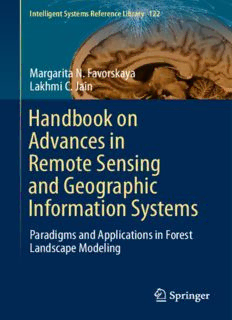
Handbook on Advances in Remote Sensing and Geographic Information Systems: Paradigms and Applications in Forest Landscape Modeling
Margarita N. Favorskaya
·424 Pages
·2017
·9.45 MB
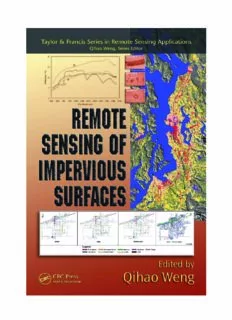
Remote Sensing of Impervious Surfaces (Taylor & Francis Series in Remote Sensing Applications)
Qihao Weng
·496 Pages
·2007
·12.45 MB
Remote Sensing and Image Interpretation
Thomas M. Lillesand
·770 Pages
·2015
·5.69 MB

Geoinformation: Remote Sensing, Photogrammetry and Geographical Information Systems
Gottfried Konecny (Author)
·263 Pages
·2002
·3.633 MB
The 2000-2005 World Outlook for Geographic Information Systems Mapping (Strategic Planning Series)
Research Group, The Geographic Information Systems mapping Research Group
·127 Pages
·2000
·9.77 MB

Remote Sensing of Global Croplands for Food Security (Remote Sensing Applications)
Prasad Thenkabail
·558 Pages
·2009
·24.45 MB
remote sensing in agriculture
342 Pages
·2012
·16.75 MB
Handbook on Advances in Remote Sensing and Geographic Information Systems: Paradigms and Applications in Forest Landscape Modeling
Margarita N. Favorskaya, Lakhmi C. Jain (auth.)
·424 Pages
·2017
·9.453 MB
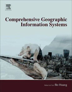
Comprehensive Geographic Information Systems
Bo Huang (editor)
·1488 Pages
·2017
·80.097 MB
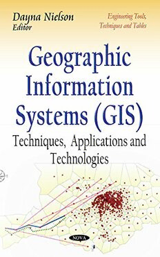
Geographic Information Systems: Techniques, Applications and Technologies
Dayna Nielson, Dayna Nielson
·369 Pages
·2014
·18.688 MB

Textbook of Remote Sensing and Geographical Information Systems
Mareddy Anji Reddy
·453 Pages
·2008
·33.241 MB
Geoinformation: Remote Sensing, Photogrammetry and Geographical Information Systems
Gottfried Konecny
·266 Pages
·2003
·10.276 MB
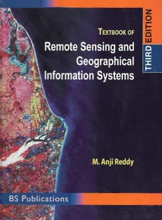
Textbook of Remote Sensing and Geographical Information Systems
Reddy, M. Anji
·476 Pages
·31.501 MB
Remote Sensing Geology
Dr. Ravi Prakash Gupta (auth.)
·671 Pages
·2003
·24.45 MB

Radar Remote Sensing of Urban Areas
286 Pages
·2010
·7.49 MB

DTIC ADA400243: Resilient Remote Sensing
Defense Technical Information Center
·8 Pages
·0.33 MB

