Top 1200 okanogan national forest agency u s cartographer PDF Book

Okanogan National Forest travel plan
Okanogan National Forest (Agency : U.S.), cartographer
·2005
·1.8 MB

Cleveland National Forest atlas : 7 1/2? quadrangle topographic maps
Cleveland National Forest (Agency : U.S.), cartographer
·2016
·9.9 MB

Mendocino National Forest atlas : 7 1/2' quadrangle topographic maps
Mendocino National Forest (Agency : U.S.), cartographer
·2016
·10.8 MB
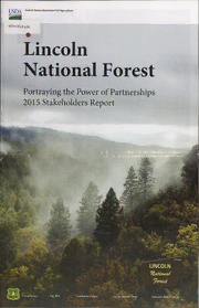
Lincoln National Forest ... stakeholders report
Lincoln National Forest (Agency : U.S.), author
·2016
·298.2 MB
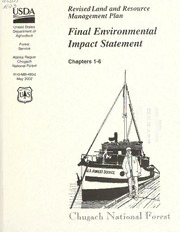
Revised land and resource management plan :final environmental impact statement, Chugach National Forest.
Chugach National Forest (Agency : U.S.)
·806 Pages
·2002
·38.9 MB
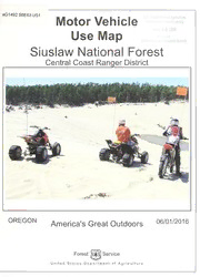
Motor vehicle use map, Siuslaw National Forest, Oregon : Central Coast Ranger District / Forest Service, United States Department of Agriculture.
United States. Forest Service, cartographer
·2016
·5.5 MB
Revised land and resource management plan : final environmental impact statement, Chugach National Forest
Chugach National Forest (Agency : U.S.)
·3 Pages
·2002
·0.86 MB
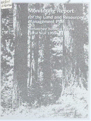
Monitoring report, land and resource management plan / Wenatchee National Forest.
Wenatchee National Forest (Wash.)
·114 Pages
·1996
·7.3 MB
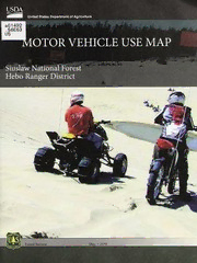
Motor vehicle use map, Siuslaw National Forest, Oregon : Hebo Ranger District
United States. Forest Service, cartographer
·2018
·2.7 MB
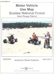
Motor vehicle use map, Siuslaw National Forest, Oregon : Hebo Ranger District / Forest Service, United States Department of Agriculture.
United States. Forest Service, cartographer
·2017
·2.8 MB
Publicly Funded Agricultural Research and the Changing Structure of U. S. Agriculture
National Research Council (U. S.)
·158 Pages
·2002
·2 MB
Revised land and resource management plan : final environmental impact statement, Chugach National Forest. Map f
Chugach National Forest (Agency : U.S.)
·3 Pages
·2002
·0.87 MB
Sierra National Forest atlas : 7 1/2' quadrangle topographic maps / United States Department of Agriculture, Forest Service, Pacific Southwest Region, Sierra National Forest.
United States. Forest Service. Pacific Southwest Region, cartographer
·2017
·13.8 MB
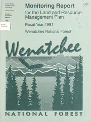
Monitoring report, land and resource management plan / Wenatchee National Forest.
Wenatchee National Forest (Wash.)
·70 Pages
·1992
·4.9 MB
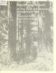
Monitoring report, land and resource management plan / Wenatchee National Forest.
Wenatchee National Forest (Wash.)
·110 Pages
·1995
·5.9 MB

Motor vehicle use map, Siuslaw National Forest, Central Coast Ranger District : Oregon, America's great outdoors, 06/01/2017 / Forest Service, United States Department of Agriculture.
United States. Forest Service, cartographer, publisher
·2017
·5.6 MB
Diamond Fork Youth Forest : a place of discovery and reflection
Uinta National Forest (Agency : U.S.)
·2005
·0.54 MB
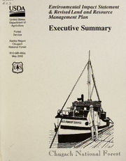
Environmental impact statement & revised land and resource management plan : executive summary, Chugach National Forest
Chugach National Forest (Alaska)
·26 Pages
·2002
·1.4 MB
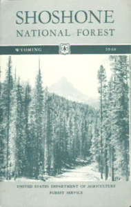
Shoshone National Forest, Wyoming by United States. Forest Service
United States. Forest Service
·2019
·2.3 MB
Umatilla National Forest 2017 personal-use firewood maps, attachment-Part 2 (Part 1 is your Permit Form)
United States. Forest Service, cartographer, author
·2017
·2 MB

Cybersecurity of Freight Information Systems: A Scoping Study (Special Report (National Research Council (U S) Transportation Research Board))
National Research Council (U. S.)
·97 Pages
·2005
·2.056 MB
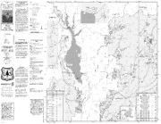
Boise National Forest - MVUM 2015
US Forest Service
·16.2 MB
Coconino National Forest atlas : 71/2ʹ quadrangle topographic maps
United States. Forest Service. Southwestern Region, cartographer, issuing body
·2018
·13.8 MB
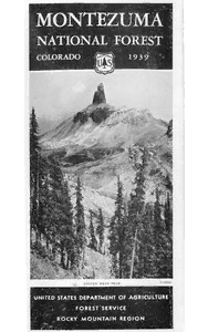
Montezuma National Forest, Colorado (1939)
United States. Forest Service. Rocky Mountain Region
·2020
·6.52 MB
Most books are stored in the elastic cloud where traffic is expensive. For this reason, we have a limit on daily download.
